Causes of discoveries
what were the scientific and technological foundations of geographical discoveries;
what was the ideological justification of geographic discoveries;
what was the economic driving force of geographic discoveries;
what were the profits from the new conquests;
what were the key geographical discoveries.
The beginnings of the European expansion overseas should be connected with the feudal system, the rulers’ obligations that resulted from it, the economic and social crisis, and most importantly with the difficulties faced by the Portuguese and Castilian knighthood in the fifteenth century. The possibility of avoiding intermediaries in Asian trade, the search for cognitive values, and finally promoting Christianity were secondary goals of the expeditions. Another aspect of the expansion was the material benefits, such as the new system of organization of agricultural production (plantations) and the trade related with it. The first deep‑sea expeditions were organized by the Portuguese. They built ships called caravelscaravels and popularized the astrolabeastrolabe, the „portolanportolan” map, and the compasscompass. At the head of one of the first expeditions of the fifteenth century was the King’s brother, Prince Henry the Navigator. In 1415, the explorers reached Ceuta. The voyages after that were deep‑sea expeditions. As a result, the following Atlantic islands were discovered: Madeira (1419), Azores (1427) and Cape Verde (1446). In the initial phase, the expeditions fulfilled their social goal, which was to engage young knights in some appropriate activities. The real breakthrough that resulted from the expeditions was cultivating the acquired area's crops that were unable to grow on the Portuguese soil – mainly sugar cane.
Learn more about the causes and history of the great geographical discoveries.
What was the purpose of the first expeditions?
- To bring to Europe cheap workforce, slaves
- To look for opportunities to avoid intermediaries in Asian trade
- For scientific purposes
- For territorial expansion
- To promote Christianity,
- For material benefits, such as the new system of organization of agricultural production (plantations) and the trade related with it.
Think about the benefits of sugar as a trade item.
- Every peasant could grow it in their home garden.
- It was easy to transport – if there was no moisture, it wouldn’t go bad.
- Demand (the need for it) has expanded.
- It was possible to produce it on every fallow land in Europe.
- Supply (the production of it) was limited in Europe.
- It suited the peoples tastes.
- It had a high price compared to its weight and production costs.
Think about it and describe what were the reasons for geographical discoveries resulting from:
the internal situation of Spain and Portugal,
the perfecting of instruments and tools of navigation,
the economic factors?
Keywords
Reconquista, Henry the Navigator, Compass, Astrolabe, plantation, sugar cane, Christopher Columbus, Caravel, Crusades, Ceuta
Glossary
Portolan – rodzaj dawnej mapy żeglarskiej, która z dużą dokładnością opisywała wybrzeże, wzdłuż którego płynęło się do celu.
Plantacja – wielki teren przeznaczony pod uprawę jednego gatunku roślin. Kiedyś pracowali na nich przede wszystkim niewolnicy.
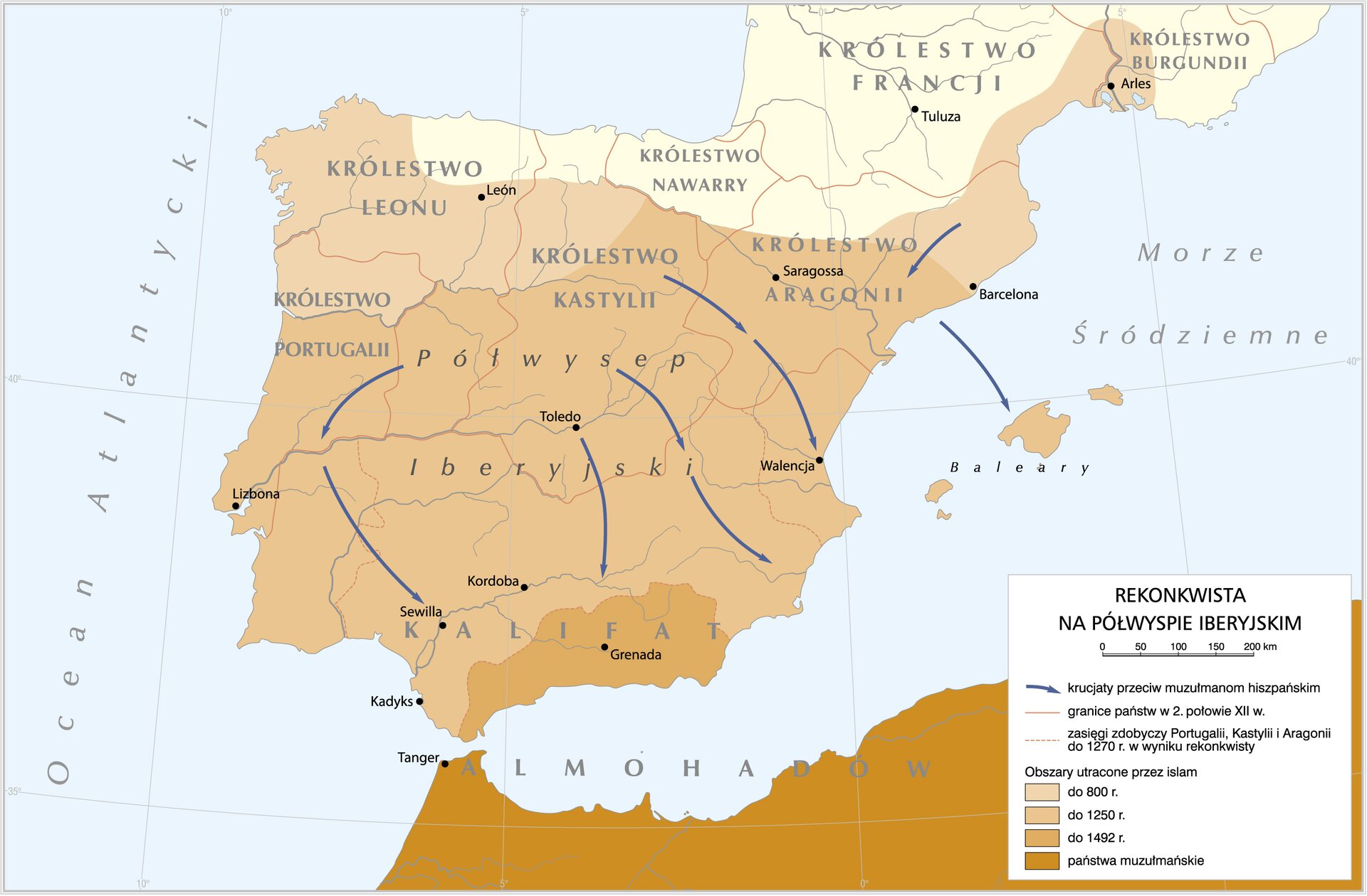
Rekonkwista – termin określający walkę chrześcijan z muzułmanami (między VIII‑XV w.) zamieszkującymi Półwysep Iberyjski, której celem było odzyskanie ziem spod ich panowania.
Karawela – rodzaj statku skonstruowany w XV w., miał trzy maszty i był napędzany żaglami.
Karaka – rodzaj trzy- lub czteromasztowego statku, który w pełni nadawał się do wypraw oceanicznych.
Astrolabium – astronomiczny przyrząd nawigacyjny służący do wyznaczania położenia ciał niebieskich nad horyzontem. Wynaleziony w starożytności, w Europie pojawił się dopiero w XIV/XV wieku.
Busola – przyrząd optyczny z igłą magnetyczną, która wskazuje północ. Dzięki niej żeglarze znali kierunek, w którym płyną.