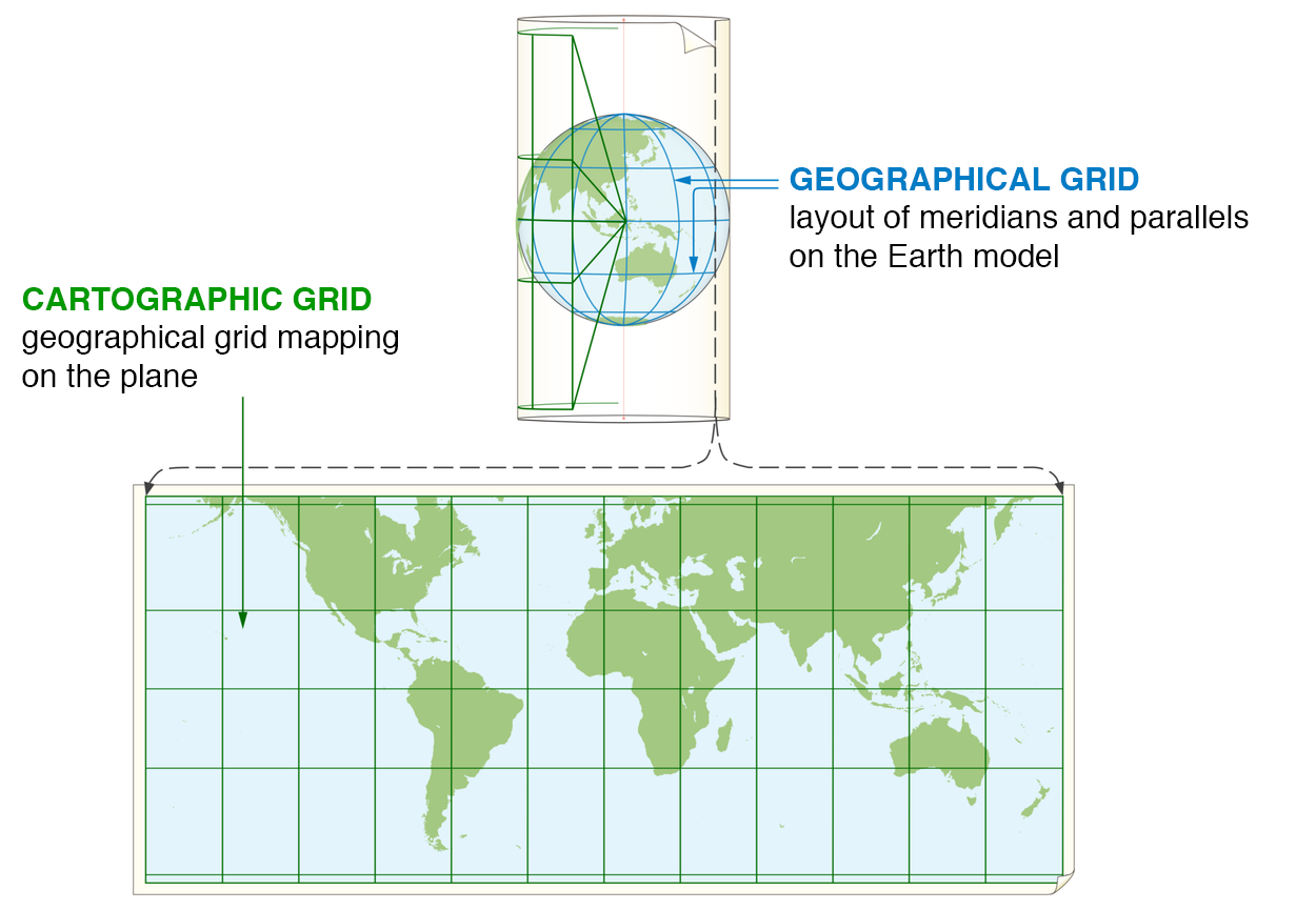
The system of meridians and parallels (including the poles and equator) shown on a model of the Earth, that is, a globe, is known as a geographical gridgeographical gridgeographical grid. If we use specialist mathematical methods, this can be depicted on a flat surface. This is known as a cartographic gridcartographic gridcartographic grid and can be the basis for plotting maps.
Rq9HxOCLB0DwK
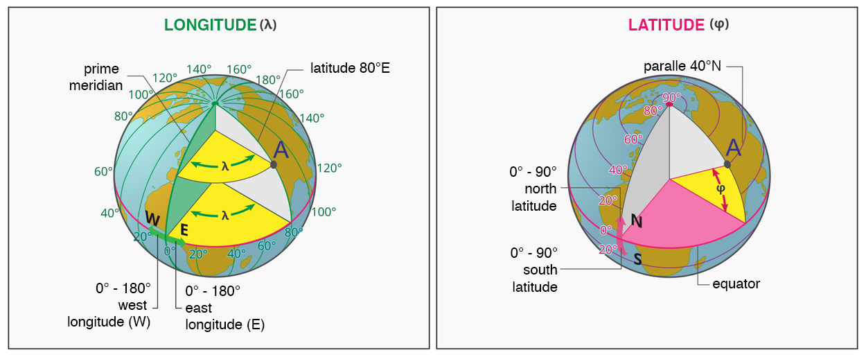
Dwie ilustracje przedstawiające kule ziemskie. Pierwsza kula ziemska prezentuje sposób obliczania długości geograficznej. Trójwymiarowo pokazano kąt pomiędzy południkami. Południki zero i osiemdziesiąt stopni to płaszczyzny, pomiędzy którymi zaznaczony jest kąt. Od płaszczyzny południka zero narysowana jest strzałka w prawo i w lewo. Na prawo to półkula wschodnia. Długość geograficzna wschodnia. Na lewo to półkula zachodnia. Długość geograficzna zachodnia. Druga kula ziemska to opis szerokości geograficznej. Trójwymiarowa kula przecięta jest poziomą płaszczyzną równika na dwie równe części. Od linii równika strzałka skierowana w górę wskazuje półkulę północną. Skierowana w dół półkulę południową. Od równika w górę to szerokość geograficzna północna. Od równika w dół to szerokość geograficzna południowa.
Diagram depicting latitude and longitude.
Source: Andrzej Bogusz, Krzysztof Jaworski, licencja: CC BY 3.0, [online], dostępny w internecie: http://creativecommons.org/licenses/by/3.0/pl/legalcode.
RB9a3sZEqHC6i
Ilustracja przedstawia globus, czyli model Ziemi z rozmieszczonymi na nim kontynentami. Na globusie wyrysowana jest siatka południków i równoleżników – to siatka geograficzna. Dokoła globusa owinięta jest płaska powierzchnia, na którą rzutowane są południki i równoleżniki z globusa. Na tej płaskiej powierzchni tworzą one siatkę kartograficzną. Na dole umieszczona jest ta płaska powierzchnia po rozwinięciu – tworzy mapę świata z rozmieszczonymi kontynentami. Układ południków i równoleżników to siatka kartograficzna.
Geographic and cartographic grid
Source: Eric Gaba, Olga Mikos, licencja: CC BY 4.0, [online], dostępny w internecie: http://commons.wikimedia.org.
Task 1
Wymyśl pytanie na kartkówkę związane z tematem abstraktu.
Wymyśl pytanie na kartkówkę związane z tematem abstraktu.
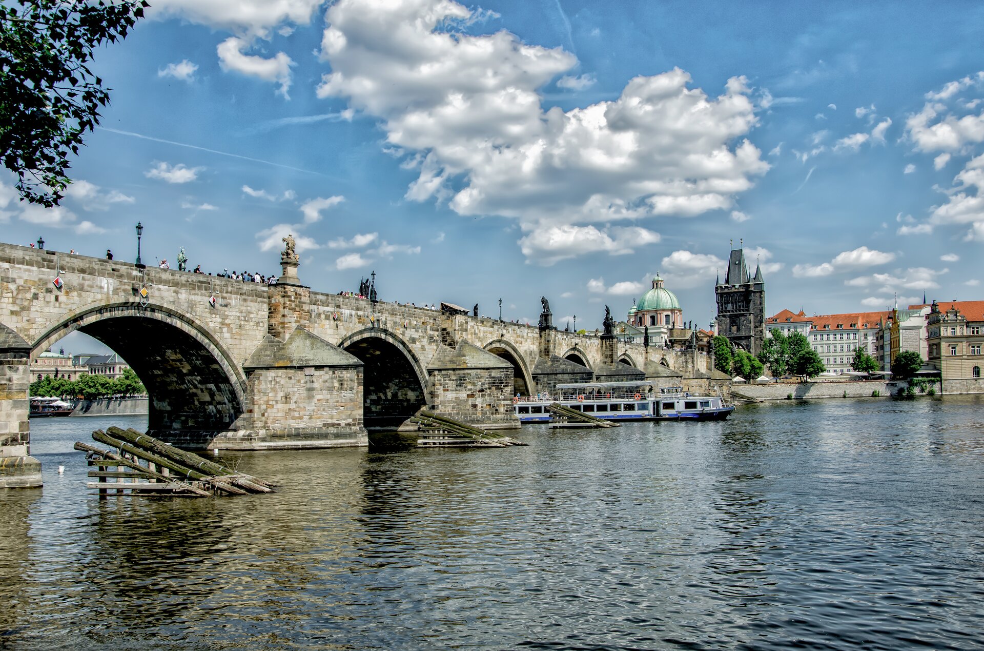
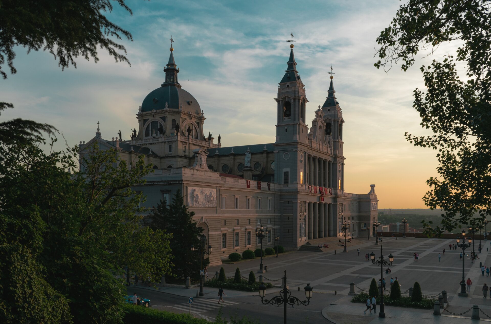
Look at the gallery below. Based on the map of Europe in the geographical atlas work out the geographical coordinates of the cities shown in the pictures and record them in a notebook.
RyDxQA2QyXKu5
Charles Bridge in Prague
Source: licencja: CC 0, [online], dostępny w internecie: pixabay.com.
R1HwQB5nXZIBl
Cathedral in Madrid
Source: licencja: CC 0, [online], dostępny w internecie: pixabay.com.
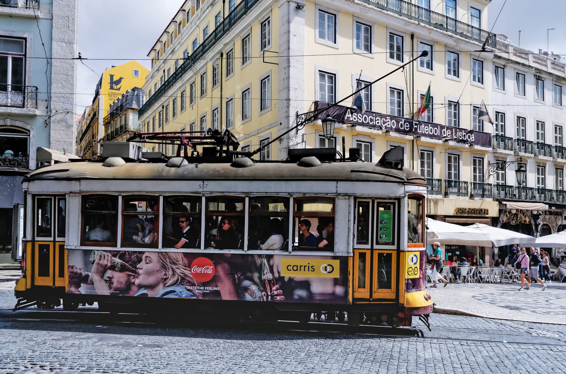
RkqoVaccoRZNH
Lisbon
Source: licencja: CC 0, [online], dostępny w internecie: pixabay.com.
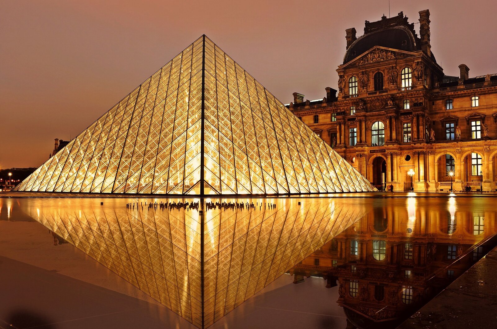
RZcqX58pOU1ro
Louvre, Paris
Source: licencja: CC 0, [online], dostępny w internecie: pixabay.com.
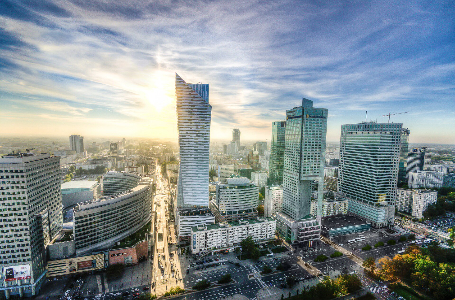
RthssEApbh1U9
Warsaw
Source: licencja: CC 0, [online], dostępny w internecie: pixabay.com.
Modern electronic devices and the whole system associated with them make it very easy to precisely determine the geographical coordinates of any place on Earth. This can be done by using a GPSGPSGPS (ang. Global Positioning System).
Use the application from the e‑textbook and identify the location of the points marked on the map, them complete the following exercise.
Exercise 1
R1BnAHtyKyAyO
Wymień najwyższe szczyty górskie w Europie.
Wymień najwyższe szczyty górskie w Europie.
Match the geographic coordinates to the mountain peaks which are the highest mountain peaks on the indicated continent.
GPS - (ang. Global Positioning System) najczęściej stosowany system nawigacji satelitarnej; został stworzony przez Departament Obrony USA i obejmuje swoim zasięgiem całą Ziemię; kilkadziesiąt specjalnych satelitów umożliwia namierzenie każdego z odbiorników GPS na Ziemi.