Northern Europe - the Scandanavian countries
that Europe is divided into four main physico‑geographic regions;
that human activity adapts to the surrounding natural environment.
to discuss the impact of glaciers on the makeup of Scandanavia;
to use thematic maps to speak about the natural environment of the countries of Scandanavia;
to state the relationship between aspects of the natural environment of selected European countries and the use of different energy sources.
Northern Europe – borders and the main parts
Northern Europe forms a mainland that consists of the Scanadanavian Peninsula and the Kola Peninsula and the Karelian Isthmus. There are smaller islands located on the European shelf in the Arctic Ocean, as well as volcanic islands in the North Atlantic. The biggest of these is Iceland, which is Europe's second largest island.
Match the flag, country and capital city.
|
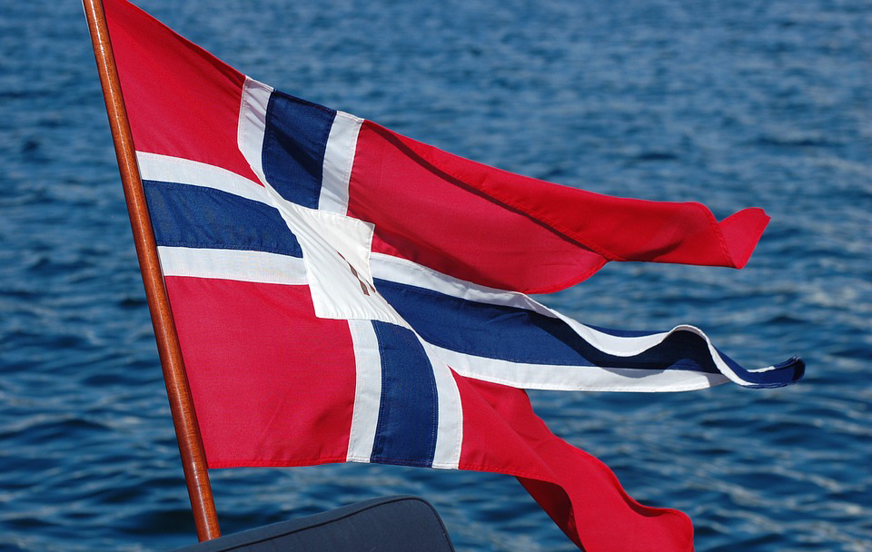
Norway
|
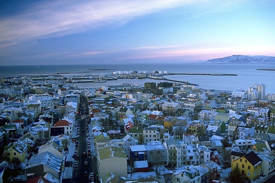
Rejkjavik
|
|
|
Finland
|
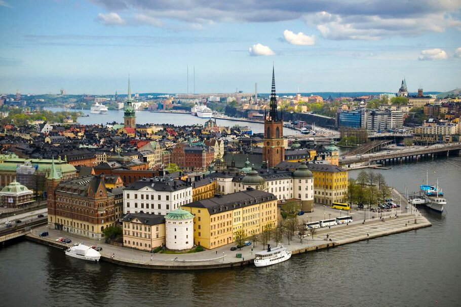
Stockholm
|
|
|
Iceland
|
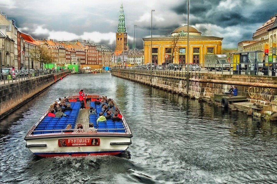
Copenhagen
|
|
|
Denmark
|
Helsinki
|
|
|
Sweden
|
Oslo
|
|
Northern Europe – natural environment
Northern Europe has great diversity in terms of its geological structure.
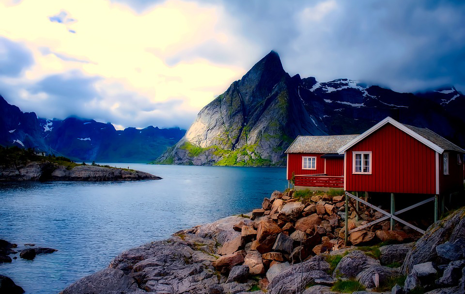
It also has varied landforms. During the Quarternary Period, the Scandanavian Peninsula consisted of an area on which a glacier approximately 3km thick was formed. Masses of ice broke away, eroded and exposed the rocky bed. This is why the distinctive feature of the Scandanavian mountains are plateaux – the so‑called fjeldsfjelds, above which can be found isolated, dome‑shaped peaks. On the western mountainous coast of the Scandanavian Peninsula can be found characteristic landforms, the so‑called fjordsfjords, which are long, winding, narrow and deep bays that run perpendicular to the coast. They were created in such a way that flowing rivers of ice from the mountains that entered the V‑shaped river valleys, transforming the valley into a U‑shape. As the temperature rose and the ice sheet melted, the sea level rose, which flooded lower parts of the transformed glacial valleys.
The largest island in Northern Europe is Iceland, which is a part of the North Atlantic Ridge. It is an island of volvanic rock. The upland consists of a plateau rising 700‑1000m above sea level.
Using the geographical coordinates, write down the capital city
The countries of Scandanavia
There are four countries in Northern Europe with strong historical and cultural ties. These are Norway and Sweden on the Scandanavian Peninsula. Finland is connected too, while Iceland is a separate island. The fifth country, with strong links to the four mentioned, is Denmark, situated in the Jutland Peninsula, and is considered part of Western Europe. All of these countries are included under the heading of the Scandanavian countries.
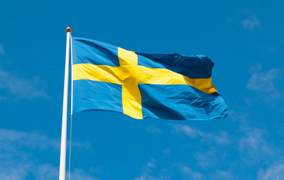
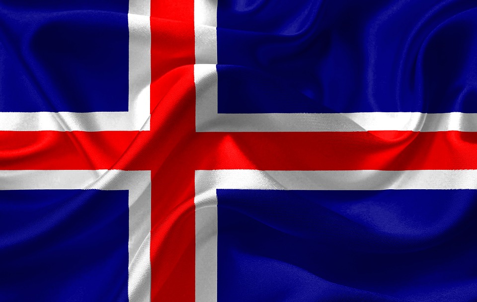
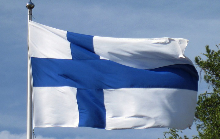
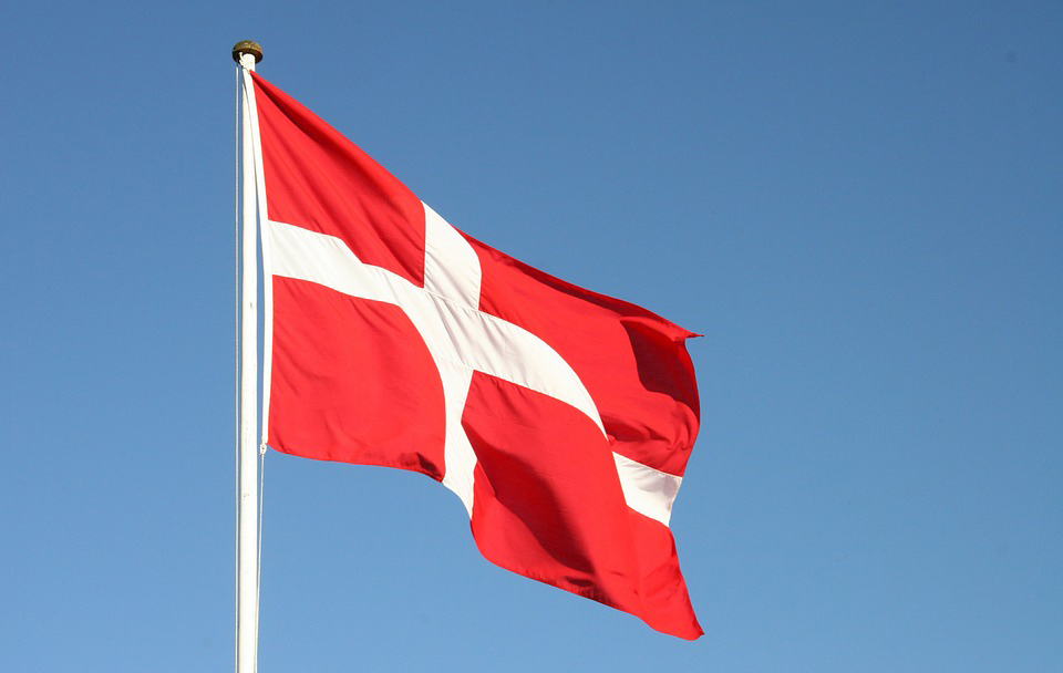
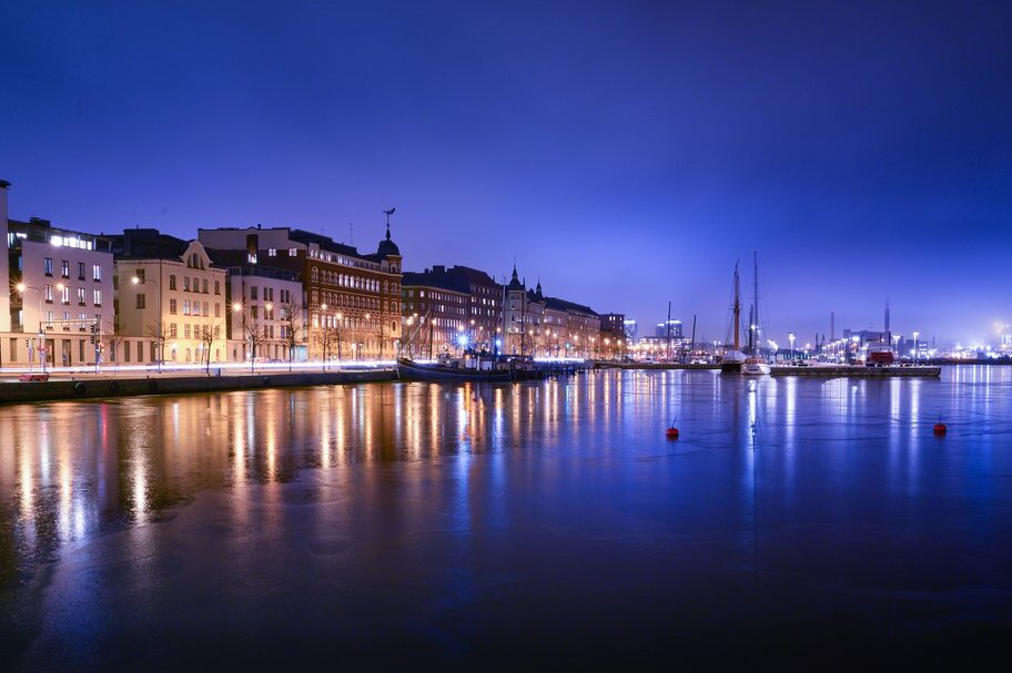
Which country is depicted in the picture?
- Denmark
- Iceland
- Sweden
- Norway
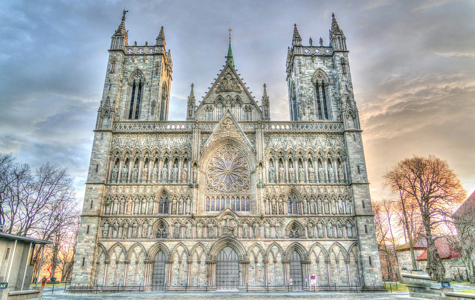
Based on available information sources, work out the country in Scandanavia in which the Cathedral of Nidaros is located.
- Sweden
- Denmark
- Norway
- Finland
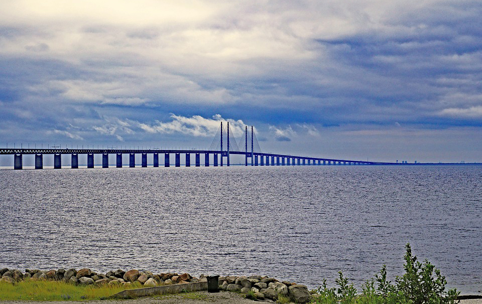
Which countries, shown in the picture, are connected by the longest road and railway bridge (7845 m). It passes over the Øresund Strait.
- Sweden- Norway
- Denmark- Norway
- Sweden- Denmark
- Norway-Finland
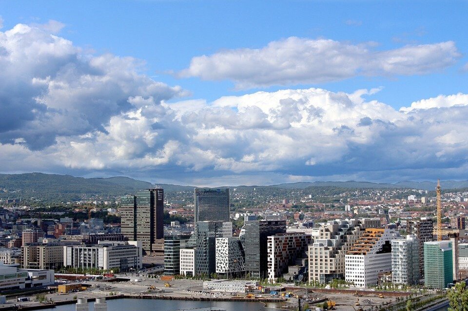
The direction of economic development in the Scandanavian countries
The geographic location and features of the natural environment of the Scandanavian countries have an impact on the development of certain areas of their economy, but also impose restrictions on economic activity.
their location in Northern Europe, in the open ocean and sea has contributed to the development of a maritime economy, utilising the biological and mineral resouces found in the seas and oceans.
a short growing season and post‑glacial soils hinder the development of agriculture north of 60°N (the northern limit for cereal crops); whilst on the Jutland Peninsula and surrounding islands in the southern part of the Scandanavian Peninsula, conditions allow for the development of intensive agriculture; Denmark's intensive agriculture is based on high commercial production of crops and livestock, especially the breeding of horned cattle and pigs; Denmark is number 3 in the world for the production of milk per capita – 885 kg in 2010.
One great natural resource for the countries of the Scandanavian Peninsula are forests. -- Finland and Sweden -- harvest large quantities of wood for the timber and paper industries; timber, cellulose, paper and cardboard are important exports for these countries.
The Scandanavian countries have well‑developed sea fishing industries; this is an important part of the economies of Iceland and Norway.
There are large deposits of mineral resources on the Scandanavian Peninsula, including iron and non‑ferrous metals; these are mined in Sweden, Norway and Finland; in the Norwegian part of the North Sea shelf, oil and gas fields have been exploited; in 2013 Norway extracted 90.3 million tons of crude oil, which makes it number 14 in the world; for natural gas, it ranks seventh in the world.
A varied terrain and a dense network of rivers rich in water make it possible to obtain electricity from accumulated water. Hydropower has developed in Norway, Sweden and Iceland. In Norway, it uses fully ecological energy possibilities: cheap energy from river hydroelectric plants covers about 99% of the country's energy demand. However, located in the area of earthquakes, volcanoes and geysers, Iceland uses hot springs of geysers as a source of heating and hot water.
Put the countries in order in terms of amounts of forest, starting with the most forested country first.
- Finland
- Iceland
- Norway
- Sweden
- Denmark
Select the country with the largest share of geothermal power plants in the total energy production.
- Finland
- Sweden
- Iceland
- Norway
- Denmark
Choose the country with the largest share of nuclear power plants in overall energy production.
- Finland
- Sweden
- Iceland
- Norway
- Denmark
Choose the country with the largest share of hydroelectric power plants in the total energy production.
- Finland
- Sweden
- Iceland
- Norway
- Denmark
Group countries in terms of the type of power plants that produce the largest amount of energy.
Iceland, Finland, Norway, Denmark, Sweden
| Hydro-electric: | |
|---|---|
| Thermal power |
Keywords
young glacial landscape, hydroelectricity, geothermal power plant, nuclear power plant
Glossary
field – rozległy płaskowyż w słabo rozczłonkowanych górach noszący ślady przekształcenia przez lodowiec; miejscami na fieldach występują niewielkie wały morenowe
fiord – długa, wąska, kręta, głęboka zatoka morska utworzona w górskim terenie poprzez zalanie wodami doliny lodowcowej
rzeźba młodoglacjalna – typ rzeźby terenu powstały i ukształtowany w okresie ostatniego zlodowacenia plejstoceńskiego. Rzeźba ta charakteryzuje się obecnością wysoczyzn morenowych o powierzchni pagórkowatej lub falistej, rzadziej płaskiej.