What does the „state” mean? Basics of the contemporary political division of the world. Changes in Europe.
that the maps are created by cartographers;
that each map is generalised so as to present the most important issues from the presented scope;
how countries are distributed around the world;
that, apart from independent states, there are dependent and disputed territories.
to explain what does the „state” mean;
to discuss changes in the political map of the world which occurred after 1989 and the reasons for those changes;
to describe changes in Europe.
Write down your connotations of the word "state" below.
What does the „state” mean?
A political map shows the distribution of countries around the world – this is basic knowledge. A more detailed analysis reveals that the subject is slightly more complex. A state should have territory, population, sovereign power, it should be recognised by other countries (de iure, i.e. officially, or de facto – unofficially, e.g. through trade contacts).
However, there may be certain complications, e.g. as a result of the civil war in the internationally recognised Somalia, there has been no government that could exercise power over the entire territory of that country since 1991. Somaliland which exists within the borders of Somalia meets the first three criteria, but is not recognised by any independent state. The situation is slightly better in the case of the Republic of China, better known as Taiwan, which lost its political importance in 1971 when the United States recognised the People's Republic of China.However, it is still very important in economic terms. Another example is Kosovo, which is not even recognised by some EU countries and many UN Member States.
Some territories are not states, but dependent territories or non‑independent territories. In Europe, for example, it is Gibraltar which is dependent on Great Britain. In the Caribbean, it is Martinique which belongs to France or Dutch Aruba. In the Pacific, there are Northern Mariana Islands which are dependent on the United States.
The long and complex historical and political processes have complicated even the issue of borders of recognised territories. The Kaliningrad region, which represents 0.0009% of the territory of the Russian Federation and is separated from it by Lithuania, Latvia and Belarus, is an example of an exclaveexclave. Cabinda is separated from the mainland of Angola by the Democratic Republic of Congo
Meanwhile, San Marino is an enclaveenclave on the territory of Italy and Lesotho is an enclave on the territory of the Republic of South Africa.
The following maps show the changes in Europe.
The basics of the modern political division of the world
At the end of the 19th century, the world's most powerful countries finally divided the lands (Berlin Congress). Hence, for example, we can notice the geometric borders in Africa.
Both World Wars resulted in significant shifts in borders, especially in Europe. In the 1960s and 1970s, numerous colonies declared independence in Africa, Asia, the Caribbean and the Pacific. In the 1980s there were few of them left.
When it seemed that the borders around the world had been determined (the documents on the Law of the Sea were also being worked on at the time), changes began in the most politically stable continent - in Europe.
Changes in Europe
After the Second World War, after defeating Nazi Germany, the leaders of the victorious empires agreed that the countries of Central and Eastern Europe, including Poland, would be subordinated to the USSR (the Union of Soviet Socialist Republics). Germany was also fragmented. At first, Germany was divided into occupation zones, but in 1949 two separate states were established. The eastern part – German Democratic Republic – was under the custody of the Soviet Union, while the western part – Federal Republic of Germany – was under the influence of the western empires (the United States, Great Britain and France).
In the 1980s, the nations dominated by the Soviet Union in the central‑eastern part of the continent began their march towards sovereignty. The first changes took place in Poland and triggered changes in the political map.
On the one hand, the reunification of Germany, divided in 1945 by decisions of the leaders of the United States, the Soviet Union and the United Kingdom, took place. On the other hand, the federal states, which mostly included nations with a strong sense of being different from each other or economically exploited, collapsed.
The Velvet Revolution led to the division of Czechoslovakia into the Czech Republic and Slovakia. The Czechs believed that Slovaks' development was at their expense, while Slovaks aspired to create an independent state.
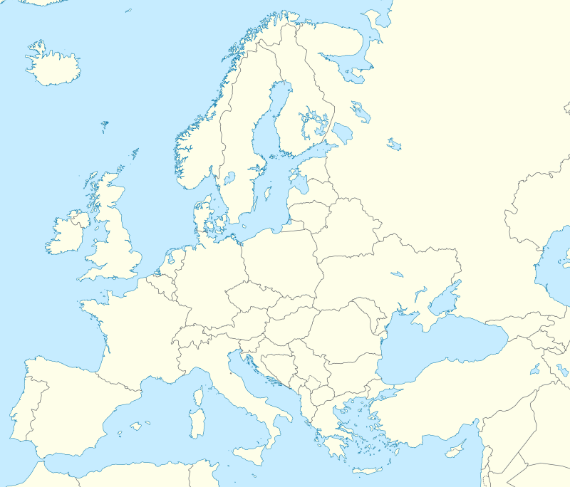
Put the names of countries on the map.
Match the regions aspiring to independence with the states to which they belong.
Spain, France, United Kingdom, Belgium, Italy
| Catalonia | |
| Padania | |
| Flanders | |
| Scotland | |
| Corsica |
Summary
States should have territory, people, sovereignty and international recognition.
The number of states in the world is growing.
Decolonisation is a process of gaining independence by dependent territories.
The independence of a state does not always guarantee its development, as sometimes state independence may involve socio‑economic problems.
Keywords
nation, state, dependent territory
Glossary
enklawa - aterytorium państwa A lub jego fragment w obrębie terytorium państwa B z punktu widzenia państwa B
eksklawa - część terytorium państwa lub innej jednostki administracyjnej, położona w oddzieleniu od głównego jego obszaru, lecz na tym samym obszarze lądowym (przeważnie kontynent). Może być otoczona terytorium innego państwa lub jednostki administracyjnej, stanowi wtedy jednocześnie enklawę
referendum - forma demokracji bezpośredniej, w której głosujący wyrażają swoją opinię o konkretnych propozycjach
państwo - forma organizacji społeczeństwa mająca monopol na stanowienie i wykonywanie prawa na określonym terytorium. Ma zdolność do nawiązywania i utrzymywania stosunków dyplomatycznych z innymi państwami.
naród - wspólnota o podłożu etnicznym, gospodarczym, politycznym, społecznym i kulturowym wytworzona w procesie dziejowym, przejawiająca się w świadomości swych członków.